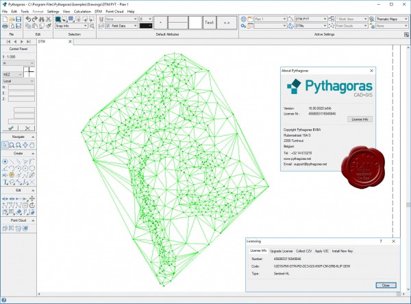
Pythagoras CAD+GIS v16.00 x64 Unlimited
Therefore, we immediately outline the range of tasks for Pythagoras CAD:
For beginners. If you have never encountered geodetic programs before - Pythagoras CAD is suitable for training, because the program is very easy to learn, there is a detailed instruction, and Pythagoras CAD solves almost all typical tasks in the field of geodesy.
For inventory. It fits quite poorly, because it does not support the basic formats for describing cadastral plots (for Ukraine, these are IN4 and new XML formats). For inventory, I advise you to master the Digitals program.
For a surveyor. Fits. Allows you to quickly draw a topographic plan in conventional signs, build horizontals, etc. However, in many organizations there is a standard for designing topographic plans in a particular program. For example, in my work, I keep all field plans, outline and working drawings in Pythagoras CAD, and when I hand over the object I have to translate the drawing to the standards of the enterprise (program based on AutoCad)
For a construction surveyor.
The option is ideal, because it allows you to maintain a geodetic map of the object with all the data (justification scheme, import the general plan, build executive and other)
For a mine surveyor. Not suitable absolutely due to the specifics of the work.
90MB
http://s15.alxa.net/001/03/Pythagora...v16.00.x64.rar